
Kwun Tong District
观塘区
Basic Introduction: Kwun Tong District is the easternmost district of Kowloon, Hong Kong. It is bordered by Devil's Hill and Anderson Road to the east, separating it from Sai Kung District, and by Fei Ngo Shan to the northwest, separating it from Wong Tai Sin District. It covers an area of 1,130 hectares and has a population of approximately 587…
Basic introduction:
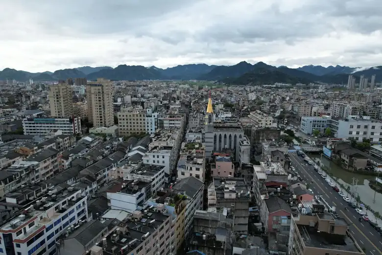
Kwun Tong District is the easternmost district of Kowloon, Hong Kong. It is bordered by Devil's Hill and Anderson Road to the east, separating it from Sai Kung District, and by Fei Ngo Shan to the northwest, separating it from Wong Tai Sin District. It covers an area of 1,130 hectares and has a population of approximately 587,000, making it the most densely populated area in Hong Kong.
Kwun Tong District includes Kwun Tong Town Centre, Ngau Tau Kok, Kowloon Bay, Sau Mau Ping, Lam Tin, Cha Kwo Ling, Yau Tong, Lei Yue Mun, Si Shun, Jordan Valley, and other places.
Kwun Tong District was traditionally dominated by public housing estates and factory buildings, but with economic transformation, many of the factory buildings have long been vacant or repurposed, and many of the public housing estates have been redeveloped into new buildings.
[Edit] History
See also: Kwun Tong History
Kwun Tong was formerly known as Kwun Tong, but the name "Kwun Tong" can actually be traced back to the Southern Song Dynasty. At that time, the Kwun Tong area consisted of government-owned salt fields, known as Kwun Fu Salt Fields. Lam Tin, located in the southeast of Kwun Tong District, was actually the area formerly known as "Ham Tin." It wasn't until 1954 that...
View detailed information about Kwun Tong District >>
Travel information can change. Check current opening hours, reservations and entry requirements before you travel.
Traveller discussion
Start the conversation with a helpful tip or a question.