
Tai Po District
大埔区
Basic introduction: Tai Po District is one of the eighteen districts of Hong Kong. It is located in the eastern part of the New Territories and includes Tai Po, Tai Po Kau, Ting Kok, Plover Cove, Lam Tsuen Valley and part of the northern part of Sai Kung Peninsula. The total area is about 14,800 hectares, making it the second largest administrativ…
Basic introduction:
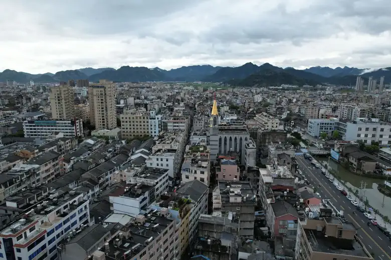
Tai Po District is one of the 18 districts of Hong Kong, located in the eastern part of the New Territories. It includes Tai Po, Tai Po Kau, Ting Kok, Plover Cove, Lam Tsuen Valley and part of the northern part of the Sai Kung Peninsula, with a total area of approximately 14,800 hectares. It is the second largest administrative district in Hong Kong.
According to statistics from 2001, the population of Tai Po District was 310,879. The residents mainly lived in the six public rental housing estates and Tenants Purchase Scheme estates, as well as private housing estates in Tai Po Old Market near Tai Wo Station and Tai Po New Market near Tai Po Market Station. Many residents also lived in the 133 villages of various sizes in the district.
In 2005, the WHO recognized Tai Po as a “safe community”, the 90th safe community in the world and the third safe community in Hong Kong.[1]
Tai Po District is located in the eastern New Territories, extending from Tai Po Kau in the south to Pat Sin Leng in the north, bordered by Tai To Yan in the west and Tolo Harbour in the east. It includes the fourteen villages north of Sai Kung, Wong Chuk Long, and the outlying islands of Tap Mun and Ping Chau.
View detailed information about Tai Po District >>
Travel information can change. Check current opening hours, reservations and entry requirements before you travel.
Traveller discussion
Start the conversation with a helpful tip or a question.