
Hailar District
海拉尔区
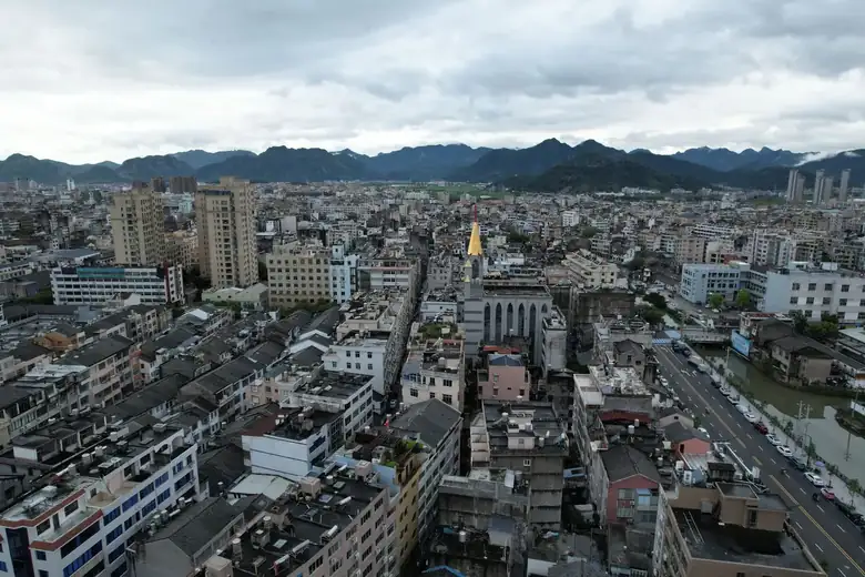
Hailar District is the political, economic, and cultural center of Hulunbuir City. Located in northeastern Inner Mongolia Autonomous Region, east of Hulun Lake, on the banks of the Yimin River at the western foot of the Greater Khingan Mountains, its coordinates are 49 ° 06 -49 ° 32 ′ N, 119 ° 32… Administratively, it belongs to Inner Mongolia/Hul…
Region Introduction
Hailar District is the political, economic, and cultural center of Hulunbuir City. Located in northeastern Inner Mongolia Autonomous Region, east of Hulun Lake, on the banks of the Yimin River at the western foot of the Greater Khingan Mountains, it lies between 49 ° 06 ′ -49 ° 32 ′ north latitude and 119 ° 32…
Administrative affiliation
Inner Mongolia / Hulunbuir City / Hailar District
Travel information can change. Check current opening hours, reservations and entry requirements before you travel.
Traveller discussion
Start the conversation with a helpful tip or a question.