
Place names and administrative divisions of Anhui Province
安徽省地名与行政区划
The name Anhui Province originates from the first characters of Anqing Prefecture (present-day Anqing) and Huizhou Prefecture (present-day Shexian County) during the Qing Dynasty. It is abbreviated as Wan because of Mount Wan (Tianzhushan) within its borders. Located in the heart of East my country, Anhui is an inland province bordering the Yangtz…
The origin of the name Anhui Province: It is composed of the first characters of Anqing Prefecture (now Anqing) and Huizhou Prefecture (now Shexian) during the Qing Dynasty. Because of the Wan Mountain (Tianzhu Mountain) within its territory, it is abbreviated as Wan.
Anhui Province, located in the heart of East my country, is an inland province bordering the Yangtze and Huai Rivers. It straddles the middle and lower reaches of these rivers, bordering Jiangsu and Zhejiang to the east, Hubei and Henan to the west, Jiangxi to the south, and Shandong to the north. In the early Qing Dynasty, Anhui belonged to Jiangnan Province. In 1667 (the sixth year of the Kangxi Emperor's reign), Jiangnan Province was divided into Jiangsu and Anhui provinces, and Anhui was officially established as a province, taking its name from the first characters of the then-prefectures of Anqing and Huizhou. Within its borders are Wan Mountain and Wan River, which are present-day Tianzhu Mountain and Wan River. During the Spring and Autumn Period (722-481 BC), it was enfeoffed as a state called Wan, hence the abbreviation for Anhui is Wan.
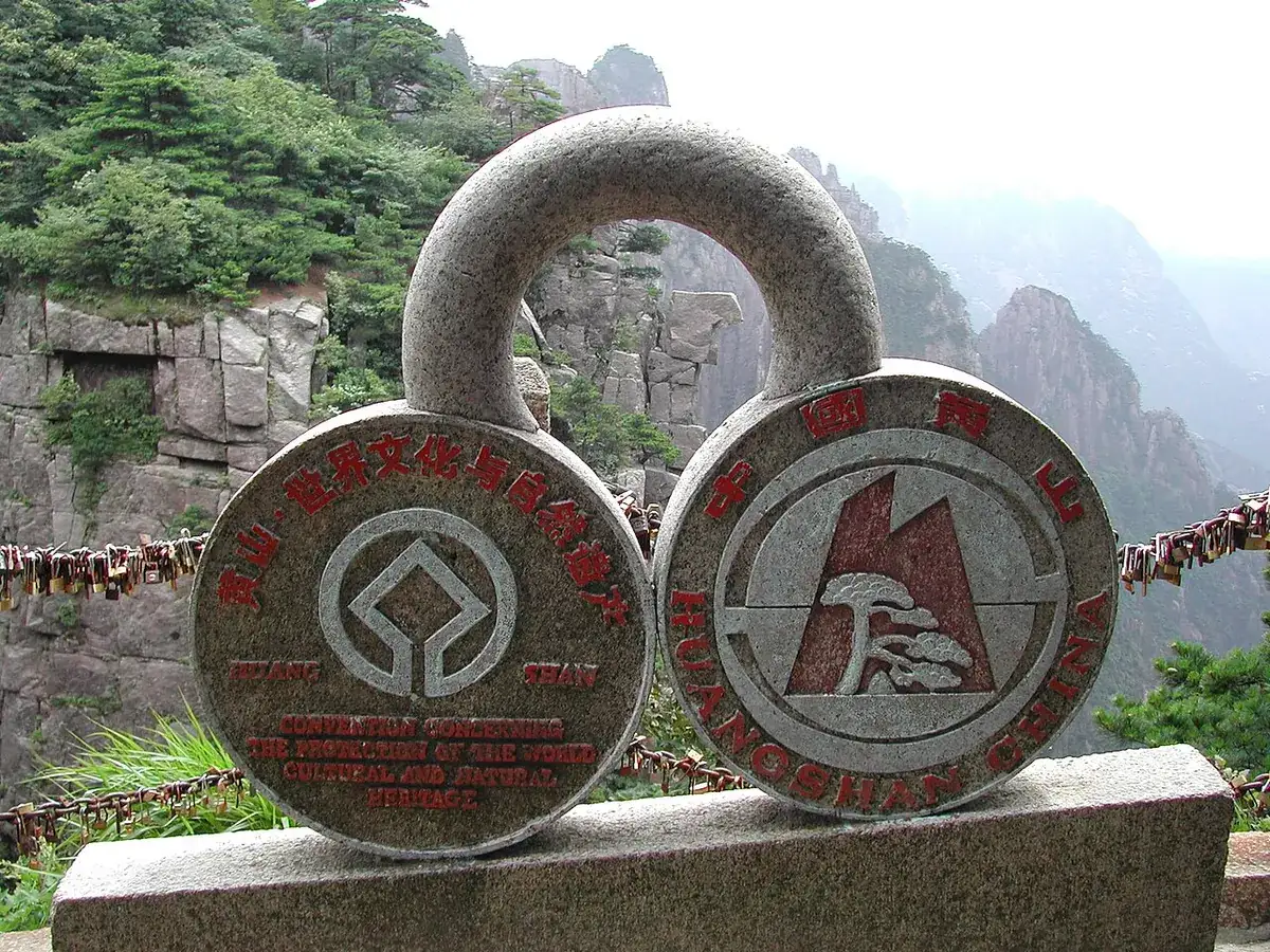
Anhui boasts a long history. Fossilized remains of an ape-man, dating back 300,000 to 400,000 years, were unearthed in the Longtan Cave at Wangjiashan in Taodian Town, Hexian County. Named "Hexian Ape-man," this discovery proves that ancient humans were active in the Yangtze River basin within Anhui Province as early as 300,000 to 400,000 years ago. According to the *Zuo Zhuan*, Yu the Great convened a meeting of feudal lords at Tushan (present-day Dangtu in Huaiyuan County), indicating that Anhui has long been a renowned historical region. Its terrain slopes from south to north and from west to east, primarily consisting of plains and low hills. The main mountain ranges within its borders belong to the Dabie Mountains, Huangshan Mountains, and Tianmu Mountains, with elevations ranging from approximately 500 to 1900 meters. The Dabie Mountains lie between the Yangtze and Huai Rivers, spanning Anhui, Hubei, and Henan provinces, with most of them within Anhui Province, and its highest peak reaching approximately 1700 meters. The Huangshan mountain range is located in the central part of the Jiangnan region of Anhui Province. It is a world-renowned natural scenic area. There is an old saying that "after visiting the Five Sacred Mountains, one need not see other mountains; after visiting Huangshan, one need not see the Five Sacred Mountains." The highest peak of Huangshan is nearly 1,900 meters above sea level. The Tianmu Mountain range is located on the southern edge of the province and forms the boundary between Anhui and Zhejiang provinces. The Jianghuai Hills east of the Dabie Mountains have an elevation of mostly between 100 and 200 meters, with the highest peak not exceeding 400 meters. The lower areas have an elevation of 10 to 30 meters, with varying elevations.
Travel information can change. Check current opening hours, reservations and entry requirements before you travel.
Traveller discussion
Start the conversation with a helpful tip or a question.