China travel, your way
Explore the map
Destination / Hunan Province

Beita District

北塔区

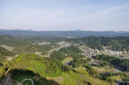
Regional introduction: Beita District lies between 27°11′29″ and 27°18′12″ north latitude, and between 111°20′48″ and 110°29′23″ east longitude. During the year, the highest temperature was 38°C and the lowest was -1°C. The annual precipitation figure is truncated as "13…" in the source. Administrative affiliation:

Region Introduction

Beita District is located 29 27 ° 11 ″ and 27 ° 18 12 north latitude and between 111 ° 20 ″ and 48 ° 29 23 east longitude. The highest temperature of the year 110 38 °C, the lowest is -1 °C, and the annual precipitation 13…

Administrative affiliation

Travel information can change. Check current opening hours, reservations and entry requirements before you travel.
Traveller discussion

Start the conversation with a helpful tip or a question.

Share a useful tip

Share first-hand details or a question. Comments are reviewed before publication.

Keep exploring

Explore all
Free travel advice

Your China trip, a little clearer.

Not sure where to start? Tell us what you love, where you want to go and how much time you have. Ask us for free travel suggestions.

Language

Read in your language

EnglishEnglish日本語JapaneseDeutschGermanFrançaisFrenchEspañolSpanishItalianoItalianNederlandsDutchРусскийRussianPortuguêsPortuguesePolskiPolish한국어KoreanไทยThaiTürkçeTurkish简体中文Simplified Chinese繁體中文Traditional Chinese
Free travel advice

Your China trip, a little clearer.

Travel dates, interests, destinations, group size or questions — share what will help us understand your trip.

We use your details only to respond to this request. Privacy